
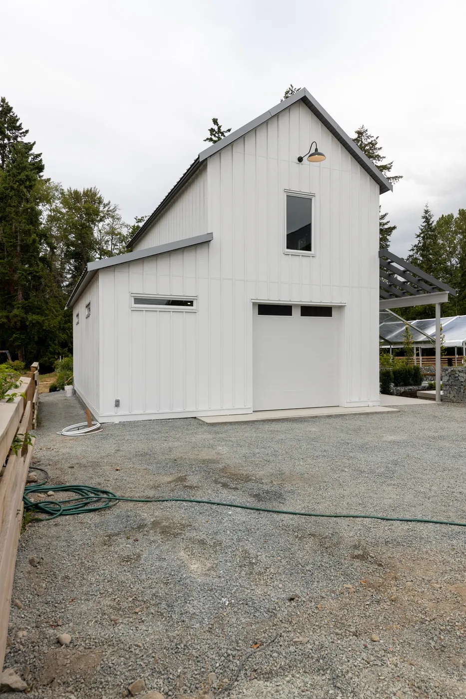
Aldergrove is the Township of Langley's eastern town centre, built around Fraser Highway and 272 Street. The Aldergrove, BC and Lynden, Washington border crossing carries its name. Its community plan was adopted on January 8, 1979, and the Township says Aldergrove grew fast in the 1970s. Township records show sewer service on 2,574 of its 2,630 house lots, Bertrand Creek runs along the edge of downtown, and farmland surrounds the town. We are a [custom home builder in Langley](/areas-build/langley), based at Suite 351, 505-8840 210 Street.
- Most common house zone
- R-1B, 1,823 lots
- Median R-1B lot in Township records
- 608 m²
- Homes on an eligible serviced lot
- Up to 4
- Floor height above Bertrand Creek
- At least 3 m
What we build in Aldergrove
- Custom homes on R-1B and R-1D lots
- Whole-home renovations of older houses, with hazardous materials testing first
- Kitchen and bathroom renovations
- Additions and secondary suites
- Garden suites and coach houses
- Houses on acreage lots with septic systems and wells
Recent work
Crescent Beach is a whole-home renovation we completed in Surrey. The first plan was to lift the house and add a basement, but a feasibility review showed that would be structurally complex and costly, so the work became a full interior renovation: a new kitchen, updated living areas, new flooring and renovated bathrooms. It took 8.5 months and won a 2026 HAVAN Award for Best Kitchen Renovation.
See the Crescent Beach renovationIn short, Building or renovating a home in Aldergrove, Township of Langley. The Aldergrove Community Plan (Bylaw 1802, 1979) covers a 487 ha urban area where Township records show 1,823 R-1B lots (median 608 m²) and 458 R-1D lots (median 708 m²), nearly all on Township sewer and water. Eligible serviced lots under 4,050 m² can hold up to 4 homes. Aldergrove's tap water blends six municipal wells, treated at the Aldergrove Water Treatment Plant, with Metro Vancouver water; the groundwater is high in iron, manganese and nitrate. Houses near Bertrand Creek stay 15 m from its natural boundary with living space at least 3 m above it.
Aldergrove's lots and zones
The Aldergrove Community Plan (Bylaw 1802) covers the town's urban area, which the Township's Communities map layer puts at 487 hectares. Its low density areas allow up to 9 homes per acre, and the plan as updated in 2025 also allows small-scale multi-unit housing on eligible lots. The plan sets one more rule for new lots: a parcel created without all community services must be at least 1 hectare.
We read the Township's open parcel data for the plan area on October 28, 2026. It lists 2,630 land parcels in zones for detached houses and duplexes. R-1B is the largest group, with 1,823 lots and a median mapped size of 608 m²; half of them are between 506 m² and 771 m². R-1D follows with 458 lots and a median of 708 m². There are also 278 R-1A lots, 38 R-2 lots, and 33 SR-2 acreage lots on streets such as 267 Street, 30A Avenue, 28 Avenue and 24 Avenue, half of them between 2.2 and 2.4 acres.
For new lots, Zoning Bylaw 2500 sets a minimum of 464.5 m² with 15.25 m of frontage in R-1B, and 650 m² with 18.25 m in R-1D. Mapped lot sizes are for reference only, in the Township's own words, so we start every design from a BC Land Surveyor's plan of the lot.
Downtown has its own plan. The Aldergrove Core Area Plan, added in 2010, covers 80 acres around Fraser Highway and 272 Street, bounded by Bertrand Creek to the north and east, 29 Avenue to the south and 270 Street to the west. It plans for 6,650 people downtown by 2041, and Metro Vancouver's regional plan, Metro 2050, names downtown Aldergrove an Urban Centre. When it was written, the plan described most of the core's residential land as large-lot single family houses 30 to 60 years old.
- R-1B lots, with a median mapped size of 608 m²
- 1,823
- R-1D lots, with a median mapped size of 708 m²
- 458
- Detached and duplex lots with Township sewer service
- 2,574 of 2,630
- Municipal wells, 31 to 50 m deep, blended with Metro Vancouver water for Aldergrove
- 6 wells
Source: Township of Langley open data, Parcel Attributes and Communities layers (read October 28, 2026); Township of Langley, 2025 Annual Water Quality Report
Sewer, tap water and the aquifer under Aldergrove
The community plan says the Aldergrove urban area is served by Township sewer and water, and that both must be installed before new development is approved. The parcel data match: 1,807 of the 1,823 R-1B lots show sewer service. The SR-2 acreage lots are the exception. Of those 33, 5 show Township sewer and 13 show Township water, so the rest rely on septic systems and private or community wells.
Aldergrove's tap water is a blend. The Township's 2025 water quality report says six municipal wells in Aldergrove, 31 to 50 m deep, feed the Aldergrove Water Treatment Plant, and Metro Vancouver water arrives through the East Langley Watermain. The report says Aldergrove groundwater carries high levels of iron, manganese and nitrate. It describes the town as surrounded by farmland, with an aquifer that can take in nitrate from sources such as fertilizer runoff. One well, Aldergrove Well 10, is above the 10 mg/L nitrate limit in the Canadian drinking water guidelines. After blending and treatment, the report gives a nitrate level of 4 mg/L.
The Township's 2009 Water Management Plan reported falling water levels in the more heavily used aquifers, naming Hopington and Aldergrove, in some cases for close to 40 years, and tied the drop to overuse. The Township also says most of its flowing artesian wells are in three aquifers, one of them called West of Aldergrove (Aquifer 33), and that a qualified professional or certified well driller can advise on flowing conditions at a site.
A new house on a private well needs a water potability certificate with test results no older than six months before the Township issues the building permit. Township residents on private wells can join its free Private Well Network, which gives a 20% discount on water testing at Element Materials Technology, 19575 55A Avenue.
What you can build on an Aldergrove lot
R-1A, R-1B and R-1D lots allow one small-scale multi-unit housing development, or one house plus one accessory dwelling unit when the house has no secondary suite. A lot qualifies for multi-unit housing when it is inside the Urban Containment Boundary, connected to Township water and sewer, smaller than 4,050 m², free of a heritage designation, outside a Transit Oriented Area, and without a driveway onto an arterial road. A qualifying lot of 280 m² or less can hold 3 homes, and a larger one 4. Each multi-unit project also needs a form and character development permit under Schedule 4 of the Township's community plan, adopted April 27, 2026, unless an exemption applies.
For one house, R-1B and R-1D share the same limits. Buildings can cover 35% of the lot, or 45% with infill housing, and the house can be 9.0 m tall. With a street driveway, the house sits 6.0 m to 7.5 m back from the front lot line, with 3.0 m at the rear and 1.2 m at each side. At the median R-1B size of 608 m², 35% coverage gives 212 m² of footprint for all buildings. Once a house reaches 280 m², garages and carports included, the second storey is held to 80% of the first and the main floor to 0.8 m above average grade on street-facing sides. With three or four homes on a lot, a third storey of 50% or 80% of the first storey is allowed.
An SR-2 acreage lot follows other rules: one house, which may have a secondary suite, 33% lot coverage, a 9 m height limit, and setbacks of 9.75 m at the front, 7.5 m at the rear and 3 m at the sides. It may add an accessory dwelling unit only when the lot is outside the urban containment boundary and the house has no suite. Shops and garages that are not for farming can total 135 m², up to 7.5 m tall. Our acreage homes page covers septic, wells and farmland rules in detail.
R-1B lot
- Size in Township records
- Median 608 m²; new lots at least 464.5 m²
- Homes allowed
- Up to 4 on an eligible serviced lot, or 1 house plus a suite or an accessory dwelling unit
- Lot coverage
- 35%, or 45% with infill housing
- House height
- 9.0 m
- Sewer and water
- Township sewer on 1,807 of 1,823 lots
SR-2 acreage lot
- Size in Township records
- Half are 2.2 to 2.4 acres
- Homes allowed
- 1 house with a suite; an accessory dwelling unit only outside the urban containment boundary and with no suite
- Lot coverage
- 33%
- House height
- 9 m; shops and garages 7.5 m
- Sewer and water
- Township sewer on 5 of 33 lots and Township water on 13; the rest use septic and wells
Source: Township of Langley Zoning Bylaw 2500, Sections 302, 402 and 110; Township of Langley open data, Parcel Attributes layer (read October 28, 2026)
Building near Bertrand Creek
Bertrand Creek runs along the north and east sides of the downtown core. The core area plan says the creek is home to Coho salmon and to two endangered fish, the Salish Sucker and the Nooksack Dace, and it asks for a trail along the creek.
Three sets of rules apply to a house near it. The community plan allows no building, fill or soil removal within 7.0 m of the top of a ravine or natural watercourse. Section 105 of Zoning Bylaw 2500 keeps buildings at least 15 m from the natural boundary of a watercourse such as Bertrand Creek, and puts the floor of any living space at least 3 m above the creek's natural boundary, or 2.5 m above a tributary of it. Outside the Agricultural Land Reserve, the Township also maps Streamside Protection and Enhancement Areas, no-disturbance zones whose width a Qualified Environmental Professional sets from the creek's classification.
The Township tells developers to confirm a watercourse's location and class with both a Qualified Environmental Professional and a BC Land Surveyor before development starts. On a lot that backs onto the creek or a ravine, we bring both in before the house is drawn, because those lines decide where the house can sit.
Renovating an older Aldergrove house
Houses from Aldergrove's 1970s growth were built before 1990, the year the Township's renovation guide uses: a hazardous materials survey and a WorkSafeBC Notice of Project may be needed before work starts. WorkSafeBC says asbestos was used in BC building materials until the early 1990s, and only qualified professionals may remove it. We order the testing before any demolition inside the house.
The Township needs a building permit to alter or add to a house, finish a basement, build a secondary suite (up to 120 m²) or add plumbing fixtures. Technical Safety BC issues the gas and electrical permits. Our pages on home renovations in Langley and bathroom renovations in Langley set out those steps for the whole Township.
Questions about building in Aldergrove
How many homes can I build on an Aldergrove lot?
On an R-1A, R-1B or R-1D lot connected to Township water and sewer, under 4,050 m² and meeting the Township's other conditions, up to 4 homes, or 3 on a lot of 280 m² or less, with a form and character development permit. Otherwise, one house with a secondary suite, or one house plus one accessory dwelling unit when the house has no suite. We confirm eligibility with the Township for your address.
What size of house can I build on an R-1B lot in Aldergrove?
Buildings can cover 35% of the lot and the house can be 9.0 m tall. On the median R-1B lot of 608 m², that is 212 m² of footprint for the house, garage and any accessory building. A house of 280 m² or more keeps its second storey to 80% of the first.
Is Aldergrove on Township water and sewer?
Most of the town is. Township records show sewer service on 1,807 of the 1,823 R-1B lots. Tap water is a blend of six Aldergrove wells and Metro Vancouver water, treated at the Aldergrove Water Treatment Plant. Many of the 33 SR-2 acreage lots use septic systems and wells.
What should I know about well water near Aldergrove?
The Township's 2025 water quality report says Aldergrove groundwater is high in iron, manganese and nitrate. A new house on a private well needs a potability certificate with test results under six months old before the permit is issued. The Township's free Private Well Network gives a 20% discount on testing at Element Materials Technology.
How close to Bertrand Creek can I build in Aldergrove?
Zoning Bylaw 2500 keeps buildings at least 15 m from the creek's natural boundary and puts living space at least 3 m above it. The community plan bars building, fill and soil removal within 7.0 m of the top of a ravine or watercourse, and a Qualified Environmental Professional sets any streamside protection area.
Is Aldergrove in the Agricultural Land Reserve?
Township records show 6 of the 4,504 parcel records in the Aldergrove plan area inside the reserve. The Township's water report describes the town as surrounded by farmland, and on reserve land around it the Agricultural Land Commission's house size limits apply.
What is the first step to build or renovate in Aldergrove?
A free consultation. We check your lot's zone, its sewer and water service, any creek or ravine setbacks, and whether it qualifies for more than one home, before you pay for drawings. Book a free consultation.
Related services
Nearby build areas
Sources
- Township of Langley, Aldergrove Community Plan Bylaw No. 1802 (consolidated, with the 2025 update)
- Township of Langley, 2025 Annual Water Quality Report
- Township of Langley, Water Management Plan (November 2009)
- Township of Langley, Provincial Advisory for Control of Flowing Wells
- Township of Langley, Private Well Network
- Township of Langley Zoning Bylaw 2500, Section 100 (Sections 105 and 110)
- Township of Langley Zoning Bylaw 2500, Section 300: Suburban Residential Zones
- Township of Langley Zoning Bylaw 2500, Section 400: Residential Zones
- Township of Langley, Small-Scale Multi-Unit Housing
- Township of Langley, Development Permits (SSMUH and streamside protection)
- Township of Langley open data, Parcel Attributes
- Township of Langley open data, Communities (community plan areas)
- Township of Langley, Residential Construction Guide: New Single-family Dwellings (January 2025)
- Township of Langley, Residential Construction Guide: Additions, Alterations and Accessory Buildings (January 2025)
- Township of Langley, Official Community Plan Bylaw No. 1842 (consolidated, with 2025 update)
- WorkSafeBC, Asbestos
- Canada Border Services Agency, Border wait times
Let's talk about your property
A conversation, not a commitment.
Whether you're curious about the multiplex value of your land or looking to partner on a missing-middle build, we're here to start the conversation.