
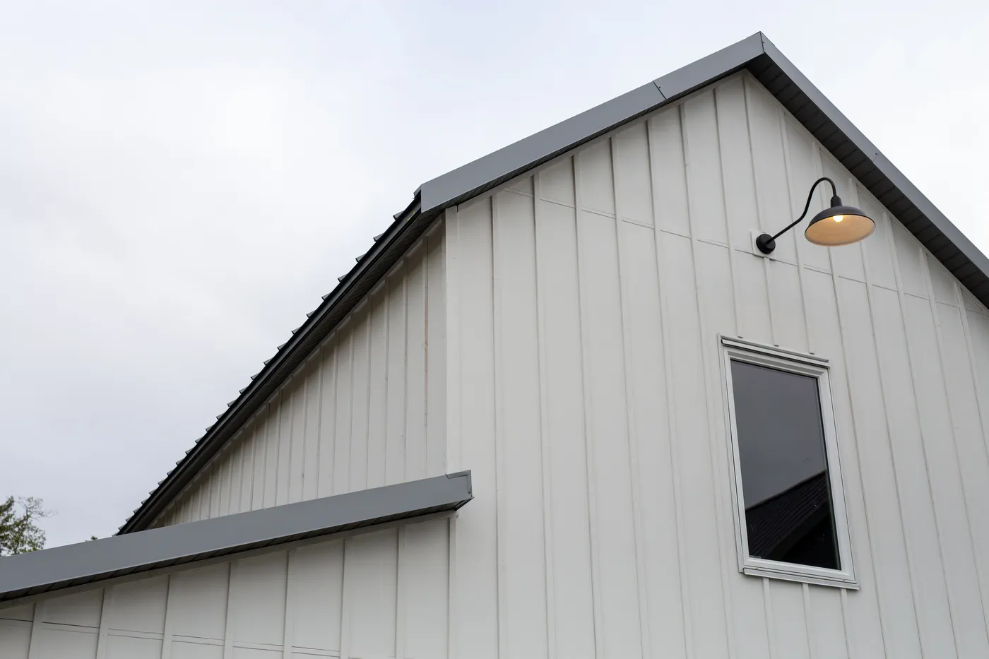
Fort Langley is a village of one and two storey houses on large lots, on a rise of land above the Fraser and Salmon River floodplain. The Township's community plan put its population at 3,435 in 2021. Four rules shape building here: a 9 m and two-storey height limit, septic systems on most house lots, a heritage conservation area over the village core, and flood levels on the low land around it. We are a [custom home builder in Langley](/areas-build/langley), with our office at Suite 351, 505-8840 210 Street.
- House zone in the village
- R-1E, 930 m² minimum lot
- R-1E lots with Township sewer
- 21 of 733
- Height limit
- 9 m and 2 storeys
- Flood construction level at Glover Road
- 7.54 m
What we build in Fort Langley
- Custom homes on R-1E village lots, drawn within the 9 m and two-storey limit
- Renovations of older and character houses
- Additions, including small additions that need no heritage alteration permit
- Garden suites and coach houses where the lot and septic system allow them
- Heritage home restoration inside the conservation area
- Site plans that place the house, septic field and reserve field together
Recent work
Kitsilano Transformation is a renovation of a Vancouver house more than 100 years old. We reworked an inefficient layout and brought in more natural light while keeping the character of the house. It took 10 months and was a 2023 Georgie Awards finalist for Best Single-Family Residential Renovation.
See Kitsilano TransformationIn short, Building or renovating a home in Fort Langley, Township of Langley. All 733 detached house lots in the Fort Langley plan area are zoned R-1E (930 m² minimum lot, median mapped lot 962 m²), and Township records show sewer service on 21 of them; the rest of the village uses septic. Houses are limited to 9 m and two storeys under Zoning Bylaw Section 104.5. Downtown is a heritage conservation area where demolition, subdivision and redevelopment need a heritage alteration permit issued by Council; façade work and additions under 50 m² that do not face a road are exempt. Low land around the village is Fraser and Salmon River floodplain, with a flood construction level of 7.54 m at Glover Road.
The village and its lots
The Fort Langley Community Plan (Bylaw 2527, adopted October 26, 1987) describes the whole community as sitting on a rise, with the Salmon River and farms on Agricultural Land Reserve soil around it. The fort was built at its present site in 1839 and is now a National Historic Site, looking over the Fraser River from the escarpment. Glover Road is the main street. Drivers coming from the north cross the Bedford Channel on the Jacob Haldi Bridge, and from every other direction they arrive past farmland.
Single family houses cover most of the plan area. The plan calls the housing stock unusually mixed, from small cottages to homes with many bedrooms, and some buildings are more than 100 years old. It keeps the minimum lot at 930 m², and allows a lot of 90% of that size where the lots around it are already smaller. Those numbers come from the R-1E zone in Zoning Bylaw 2500: 930 m² of area, 22 m of frontage and 25 m of depth, with the 10% relaxation in Section 110.2 for a lot within 100 m of smaller existing lots.
We read the Township's open parcel data for the Fort Langley plan area on October 28, 2026. All 733 land parcels there that are zoned for detached houses are R-1E. Their median mapped size is 962 m², half of them fall between 899 m² and 1,215 m², and 312 are under 930 m². The plan says few new lots can still be created, and it links lot size to the ground a septic field needs. The Township calls its map data a general reference, so a BC Land Surveyor measures any lot before we design for it.
- Lots zoned R-1E for detached houses in the Fort Langley plan area
- 733
- Median mapped lot size; half are between 899 m² and 1,215 m²
- 962 m²
- R-1E lots with Township sewer service; the plan says the rest of the village uses septic
- 21
- R-1E lots inside the Fort Langley heritage conservation area
- 16
Source: Township of Langley open data, Parcel Attributes and Communities layers (read October 28, 2026); Fort Langley Community Plan Bylaw No. 2527, Section 3.2
Septic, water and drainage on a village lot
The plan says houses north of the railway tracks, and the commercial and institutional buildings, are on Township sanitary sewer. Their sewage is pumped through lift stations on Billy Brown Road and on Mavis Avenue, then along 96 Avenue to the Northwest Langley treatment plant. The rest of the community uses on-site septic systems. Water comes from Metro Vancouver through a connection at 201 Street and 96 Avenue in Walnut Grove, and a reservoir near 212 Street and 85 Avenue holds water for fire protection. In the parcel data, 713 of the 733 R-1E lots show Township water and 21 show Township sewer.
On a septic lot, the septic system often sets the limits of the project. A new house, an addition, or a basement finish that adds bedrooms brings a Registered Onsite Wastewater Practitioner (ROWP) into the permit, and the Township needs the ROWP's paperwork before it issues the permit. The plan adds that a Fort Langley system may need extra treatment to remove nitrogen. For new development on septic, it asks for a qualified professional's letter that the land can carry the system, and a Section 219 covenant on title that fixes the location of the main field and the reserve field.
The plan says most rain soaks into the sand and gravel under the village, so the Township has built only short lengths of storm pipe, and it asks building projects to supply their own drainage. For a new house, the Township also wants a stormwater plan sealed by a civil engineer before any fill arrives on the lot.
What an R-1E lot in the village allows
Section 104.5 of Zoning Bylaw 2500 sets a height rule for the mapped Fort Langley area: buildings up to 9 m, no more than two storeys, and no room above the second storey. A basement is left out of the storey count while the first floor stays less than 800 mm above the average grade around the house.
The R-1E zone sets the rest. All buildings together can cover 35% of the lot. With the driveway off the street, the house sits between 6.0 m and 7.5 m from the front lot line, at least 3.0 m from the rear and 1.2 m from each side. A house of 280 m² or more, garages and carports included, keeps its second storey to 80% of the first, and its first floor no more than 0.8 m above average grade on any side facing a street. On a 962 m² lot, 35% coverage is 336 m² of footprint for the house, garage and any accessory building, and the septic field and reserve field need their own open ground.
The Township allows up to four homes on a lot only when it is connected to both Township water and sewer, among other conditions. A Fort Langley lot on septic keeps the R-1E choice: one house with a secondary suite of up to 120 m², or one house plus one accessory dwelling unit, such as a garden suite, when the house has no suite. Our coach house and garden suite page covers that option in detail. Township data show 6 of the R-1E lots inside the Agricultural Land Reserve, where the Agricultural Land Commission's limits apply first.
The heritage conservation area and its permit
The Township has two heritage conservation areas, Fort Langley and Murrayville. Fort Langley's protects the heritage character of downtown, shown on Map 2 of the community plan, and the same area is a mandatory development permit area. The commercial core runs along Glover Road from St. Andrews Street to the Jacob Haldi Bridge. In the Township's parcel data, 258 parcel records carry the Fort Langley heritage conservation area flag, and 16 of them are R-1E house lots.
Inside the area, the Township needs a heritage alteration permit before any demolition, subdivision or redevelopment, and it may need one for changes to a protected heritage building. The permit follows the development permit process, with one difference: Council issues every heritage alteration permit itself. Neighbours next to the site receive a notice inviting written comments. Once issued, the permit is filed at the Land Title Office and binds later owners, and it lapses if work has not substantially started within two years.
Three kinds of work go ahead without a heritage alteration permit when they follow the plan's design guidelines: façade work on an existing building, such as new siding, doors, windows, cornices or awnings; an addition under 50 m² (538 sq ft) that does not face a road other than a lane; and an addition of that size and position built in the style and materials of the existing building.
The plan's design guidelines are three short rules. Restore historic buildings in a way that suits their own period and style, keeping original forms, materials and details where possible. Design new buildings and infill to blend with the historic parts of the street. Avoid decorative styles that are out of place in how Fort Langley's buildings developed. The Fort Langley Building Façade Design Guidelines are a separate, non-binding document that Council can change by resolution. For buildings on the Township's Heritage Inventory, the plan prefers upgrading and reuse to demolition.
- 01
Pre-application comments
Send the Township's pre-application request. A Development Planner gives first feedback within 30 days.
- 02
Apply online
Submit the development application through a MyTownship account, and pay the fees within 7 days of acceptance.
- 03
Staff review
Referrals to other departments, then a staff report to Council. Neighbours next to the site get a notice for written comments.
- 04
Council decides
Council issues every heritage alteration permit. The permit is filed at the Land Title Office and runs with the land.
- 05
Building permit
Apply for the building permit. Work must substantially start within two years or the heritage permit lapses.
Source: Township of Langley, Development Permits and Development Applications pages; Fort Langley Community Plan Bylaw No. 2527, Sections 5.1 and 5.2
Flood levels around the village
The plan says Fort Langley is surrounded by the floodplain of the Fraser and Salmon Rivers, and Map 13 of the Township's community plan shows the areas at risk. Its policy is to keep land that is likely to flood for parks, open space or farming where possible.
Where a home does go on low land, Section 105 of Zoning Bylaw 2500 applies. At Glover Road, where the Jacob Haldi Bridge meets the Bedford Channel, the Fraser River's designated flood level is 6.94 m (Geodetic Survey of Canada datum), so the flood construction level there is 7.54 m. The underside of a wooden floor, or the top of a slab, under living space must be at or above that height, and no furnace or other fixed equipment may sit below it. A house must also stand at least 30 m from the natural boundary of the Fraser or Salmon River, with its floor at least 3 m above the Salmon River's natural boundary.
The Township's Salmon River Dike Upgrades page describes a $5 million project to widen and raise the dike along the Fraser River where the Salmon River joins it. The flood levels in Section 105 are written into the bylaw itself, so we check them on every lot below the village rise, and a BC Land Surveyor certifies the site elevation before the permit is issued.
Renovating or adding on to an older Fort Langley house
A renovation avoids several of these steps. Section 105 exempts a renovation with no addition, and an addition under 25% of the existing floor area, from the flood elevation rule. Inside the conservation area, façade work and small additions away from the road can skip the heritage alteration permit. For a house built before 1990, the Township's renovation guide says a hazardous materials survey and a WorkSafeBC Notice of Project may be needed, so we test before any wall is opened.
A second storey is the addition to check first, because the 9 m and two-storey limit stays in force, and a main floor raised 800 mm or more above grade turns the basement into a storey. See our pages on home additions in Langley and whole-home renovations in Langley for the rules that apply across the Township.
Questions about building in Fort Langley
What size of house can I build in Fort Langley?
On an R-1E lot, all buildings can cover 35% of the lot, and the house can be 9 m tall with two storeys. On the median village lot of 962 m², that is 336 m² of footprint. A basement does not count as a storey while the first floor is under 800 mm above average grade. A house of 280 m² or more must keep its upper floor to 80% of the main floor, and the septic field and setbacks also take space.
How many homes can I build on a Fort Langley lot?
On a lot on septic, one house with a secondary suite of up to 120 m², or one house plus one accessory dwelling unit such as a garden suite when the house has no suite. Up to four homes are allowed only on lots connected to Township water and sewer, and Township records show sewer service on 21 of the village's 733 R-1E lots.
Do I need a heritage permit to renovate in Fort Langley?
Inside the heritage conservation area on Map 2 of the community plan, which covers downtown, demolition, subdivision and redevelopment need a heritage alteration permit, and Council issues all of them. Changes to a protected heritage building may need one too. Façade work and additions under 50 m² that do not face a road can go ahead without one when they follow the design guidelines. Township records put 16 R-1E house lots inside the area.
Is my Fort Langley house on sewer or septic?
The community plan says houses north of the railway tracks are on Township sewer and the rest of the village uses septic. We check the Township's records for your lot, and on a septic lot a Registered Onsite Wastewater Practitioner looks at the system before design starts.
Is Fort Langley in the flood plain?
The village sits on a rise, and the plan says the floodplain of the Fraser and Salmon Rivers surrounds it. On low land, living space must sit at or above the flood construction level, which is 7.54 m (GSC) at Glover Road, and houses stay 30 m from the Fraser and Salmon Rivers.
Can I subdivide my Fort Langley lot?
The R-1E minimum is 930 m² with 22 m of frontage. A lot down to 90% of that area can be approved when it is within 100 m of existing smaller lots. The plan says few lots can still be split, and inside the heritage conservation area a subdivision also needs a heritage alteration permit.
What is the first step to build or renovate in Fort Langley?
A free consultation. We look up your lot's zone, sewer or septic service, heritage area status and flood level, then tell you what the Township allows before you pay for drawings. Book a free consultation.
Related services
Nearby build areas
Sources
- Township of Langley, Fort Langley Community Plan Bylaw No. 2527 (consolidated, with the 2025 update)
- Township of Langley Zoning Bylaw 2500, Section 100 (Sections 104.5, 105 and 110)
- Township of Langley Zoning Bylaw 2500, Section 400: Residential Zones
- Township of Langley, Development Permits (including heritage alteration permits)
- Township of Langley, Development Applications
- Township of Langley open data, Parcel Attributes
- Township of Langley open data, Communities (community plan areas)
- Township of Langley, Small-Scale Multi-Unit Housing
- Township of Langley, Salmon River Dike Upgrades
- Township of Langley, Residential Construction Guide: New Single-family Dwellings (January 2025)
- Township of Langley, Residential Construction Guide: Additions, Alterations and Accessory Buildings (January 2025)
- Township of Langley, Residential Construction Guide: Basement Finish (January 2025)
Let's talk about your property
A conversation, not a commitment.
Whether you're curious about the multiplex value of your land or looking to partner on a missing-middle build, we're here to start the conversation.