
Only one profession in BC can tell you where your property line is
The Land Surveyors Act reserves boundary determination to one profession, and exempts other professionals only where the work does not involve determining a boundary. Vancouver wants the plan dated within 30 days of your application.
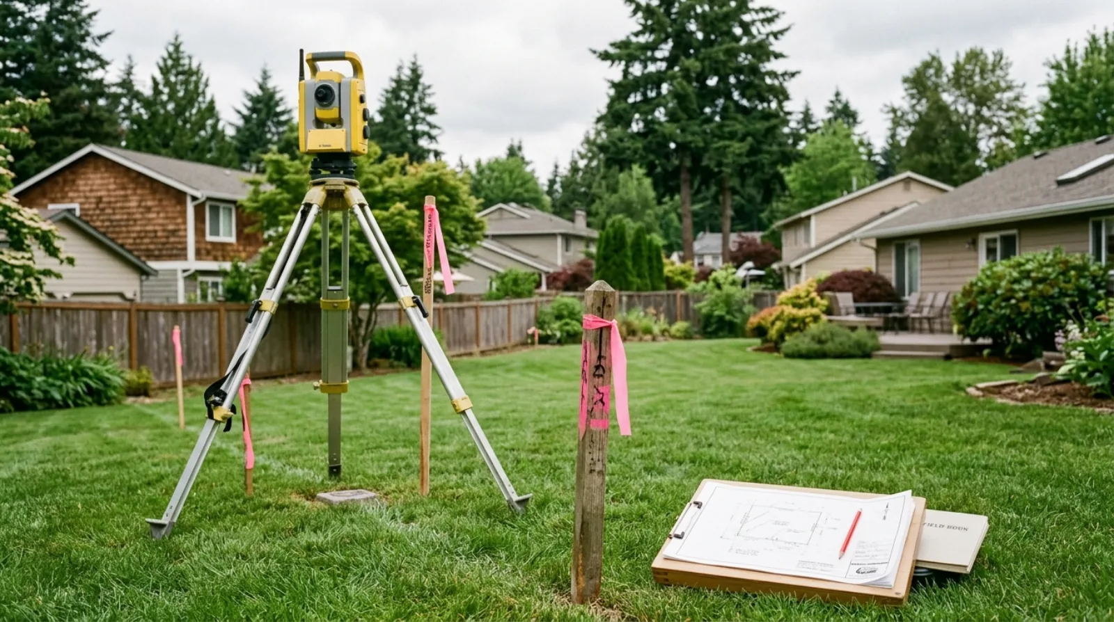
In short, Under the BC Land Surveyors Act, land surveying practice is reserved to a practising land surveyor, and the exemption for lawyers, notaries, architects, engineers and geoscientists applies only if the work does not involve the determination or certification of a boundary. The titles BC Land Surveyor and the initials BCLS are also reserved. Survey plans are prepared for filing in a land title office, with different plan types serving different purposes, including subdivision plans that create new titled parcels, reference plans, explanatory plans which are not based on a survey, and air space plans. Vancouver building permit checklists require a survey plan prepared by a BC Registered Land Surveyor certified within 30 days of the application date.
On a standard Metro Vancouver lot with a multiplex pushed toward its permitted setbacks, being wrong about a property line by a small margin is not a minor problem. It is a redesign, or a building that cannot be certified where it stands.
Which makes it worth knowing who in BC is actually permitted to tell you where that line is.
One profession, and a narrow exemption
The Land Surveyors Act reserves land surveying practice to a practising land surveyor.
It does exempt other professionals, lawyers, notaries, architects, engineers and geoscientists, but the exemption is conditional. It applies only if that practice or work or those services do not involve the determination or certification of a boundary.
So an architect can do a great deal of work involving a site plan. What they cannot do, within that exemption, is determine or certify where the boundary is. That is reserved, and the Act also reserves the title BC Land Surveyor along with the initials BCLS, making contravention an offence.
A fence is not a boundary. A hedge is not a boundary. A twenty-year-old plan in a drawer is not a current boundary. Only one document answers the question.
The plans are not interchangeable
Several types of plan exist and they do different jobs, which causes confusion when people use survey as a generic term.
- A subdivision plan creates new titled parcels. This is the instrument when land is being divided.
- A reference plan is a ground survey, generally of a single parcel.
- An explanatory plan is not based on a survey.
- An air space plan is volumetric, dividing space rather than ground area.
That third one deserves emphasis. An explanatory plan sounds like a survey product and is not based on a survey. If the question you need answered is where the boundaries physically are, an explanatory plan does not answer it.
The air space plan is worth noting for anyone thinking about ownership structures on a multi-unit project, since dividing space is a different mechanism from dividing land. That connects to the questions in strata vs freehold multiplex ownership.
Vancouver wants it fresh
Here is the requirement that catches owners who already have a survey.
Vancouver's checklists for new infill house and new multi-unit residential building permit applications require a survey plan prepared by a BC Registered Land Surveyor, certified correct with digital seals and signatures, within 30 days of the application date.
Thirty days. A survey from the purchase of the property, or from a previous project, does not satisfy that. Owners regularly assume they are covered because a survey exists somewhere, and find out at application that they need a current one.
Worth building into the pre-application sequence rather than discovering at submission, since it also means the survey should be timed against the application rather than commissioned as early as possible.
What the plan has to show
Vancouver's content requirements are a useful picture of why the document matters to the design.
They include property lines, existing and proposed building locations, yard depths, setbacks, easements and rights-of-way, and existing grades at each site corner and at retaining walls at intervals.
Notice that easements and rights-of-way appear. The survey is where the abstract charges registered on title become physical locations on the ground. A right-of-way described in a registered document becomes a strip you can see on a drawing, and that is when its effect on the buildable area becomes real. We cover the title side of that in restrictive covenants and your title.
Why grades are on there
Grades might look like an odd inclusion on a boundary document, and they are on there because so much of the design depends on them.
Height limits are measured from the ground. Drainage runs downhill from wherever the ground actually is. The relationship between the building, the street, and the neighbouring properties all reference existing grade. Vancouver sets accuracy standards for that measurement, which tells you how consequential it is considered to be.
On a sloped site this becomes the controlling factor rather than a detail, since the permitted height envelope follows the ground. That is a large part of why hillside projects are more complex, as covered in building on a sloped or difficult lot.
Renovations are a different question
Whether a renovation needs a survey depends on the work and on the specific permit checklist.
Vancouver's demolition checklist, for instance, treats an architectural site plan or a survey as alternatives in that context. Where a project changes siting, affects setbacks, or alters grades, the likelihood of a survey being required rises sharply.
The reliable approach is to read the checklist for the permit type you are actually applying for, in the municipality you are actually in, rather than generalizing from another project.
When to commission it
Two competing pressures, and they resolve in a specific order.
You want boundary and grade information early, because the design depends on it and designing against assumed boundaries wastes work. You also need a plan certified within Vancouver's 30 day window at application.
In practice that means the information gets obtained early enough to inform design, with the certified plan for the application timed against the submission date. Discuss that sequencing with your surveyor rather than treating it as a single purchase, because it affects both your design schedule and your application.
Frequently asked
Who is allowed to determine a property boundary in BC?
A practising land surveyor. The Land Surveyors Act reserves land surveying practice to them, and while it exempts lawyers, notaries, architects, engineers and geoscientists from that reservation, the exemption applies only if the work does not involve the determination or certification of a boundary. Boundary determination is the line the exemption does not cross.
Is BC Land Surveyor a protected title?
Yes, the BC Land Surveyors Act reserves both the title and the initials BCLS, and contravening that provision is an offence under the Act. So the designation on a survey plan is a meaningful, legally protected credential rather than a description anyone can adopt freely.
How current does a survey have to be for a Vancouver building permit?
Vancouver's checklists for new infill house and new multi-unit residential applications require a survey plan prepared by a BC Registered Land Surveyor, certified correct with digital seals and signatures, within 30 days of the application date. An older survey sitting in a file does not satisfy that requirement.
What does a survey plan for a permit actually show?
Vancouver's requirements include property lines, existing and proposed building locations, yard depths, setbacks, easements and rights-of-way, and existing grades at each site corner and at retaining walls at intervals. It is a document about the relationship between the parcel, what is registered against it, and what is proposed on it.
What is the difference between a subdivision plan and a reference plan?
A subdivision plan creates new titled parcels, which is the instrument used when land is being divided. A reference plan is a ground survey generally of a single parcel. They serve different purposes, and which one a project needs depends on whether new titles are being created.
Is an explanatory plan a survey?
No, and this is a distinction worth knowing despite the similar name. An explanatory plan is not based on a survey at all. If what a project needs is an actual determination of where the boundaries are, an explanatory plan is not that document and should not be treated as one.
Do I need a survey if I am only renovating?
It depends on the work and the municipality's requirements for that permit type. Vancouver's demolition checklist, for example, treats an architectural site plan or a survey as alternatives in that context. Where a project affects setbacks, siting, or grades, a survey becomes far more likely to be required, so confirm against the specific checklist for your permit rather than generalizing.
Why do grades appear on a survey?
Because height limits, drainage, and the relationship of a building to the ground it sits on all depend on where the ground actually is at each corner. Vancouver's building grade survey standards set accuracy requirements for that specific measurement, which reflects how much the design depends on it being right the first time.
If you are planning a project in Metro Vancouver and want the survey and title work sequenced properly against your permit timeline, book a free consultation.
Written by

Founder & President
Mark Van Ek is the founder and president of Venture Pacific, bringing more than 40 years of Metro Vancouver and the Fraser Valley construction management experience and multiple Georgie and HAVAN awards to every custom home, renovation, and multiplex project.
Full profile