
Township of Langley
7409 272 StZoning and what you can build
Google Street View nearest the lot. Drag to look around.
What the zoning allows
No count of homes
The lot sits across a zone line: the zoning map shows parts of it in RU-3 and RU-5. Each part follows its own zone, so no single count of homes can be given. The zone pages below list each zone's rules.
Your lot
- 39,181 m² (421,739 sq ft), 9.68 acres
- Lot size, from the lot outline
- Neither
- Township services recorded
- In the ALR
- Agricultural Land Reserve
The Township records 10 acres
7409 272 St is a 39,181 m² (421,739 sq ft) lot (9.68 acres) in the Township of Langley. The lot sits across a zone line: the zoning map shows parts of it in RU-3 and RU-5. Each part follows its own zone, so no single count of homes can be given. The zone pages below list each zone's rules. Sources: the Township of Langley zoning bylaw, and Township of Langley lot records downloaded October 28, 2026.
On the map
7409 272 St from above and from the street
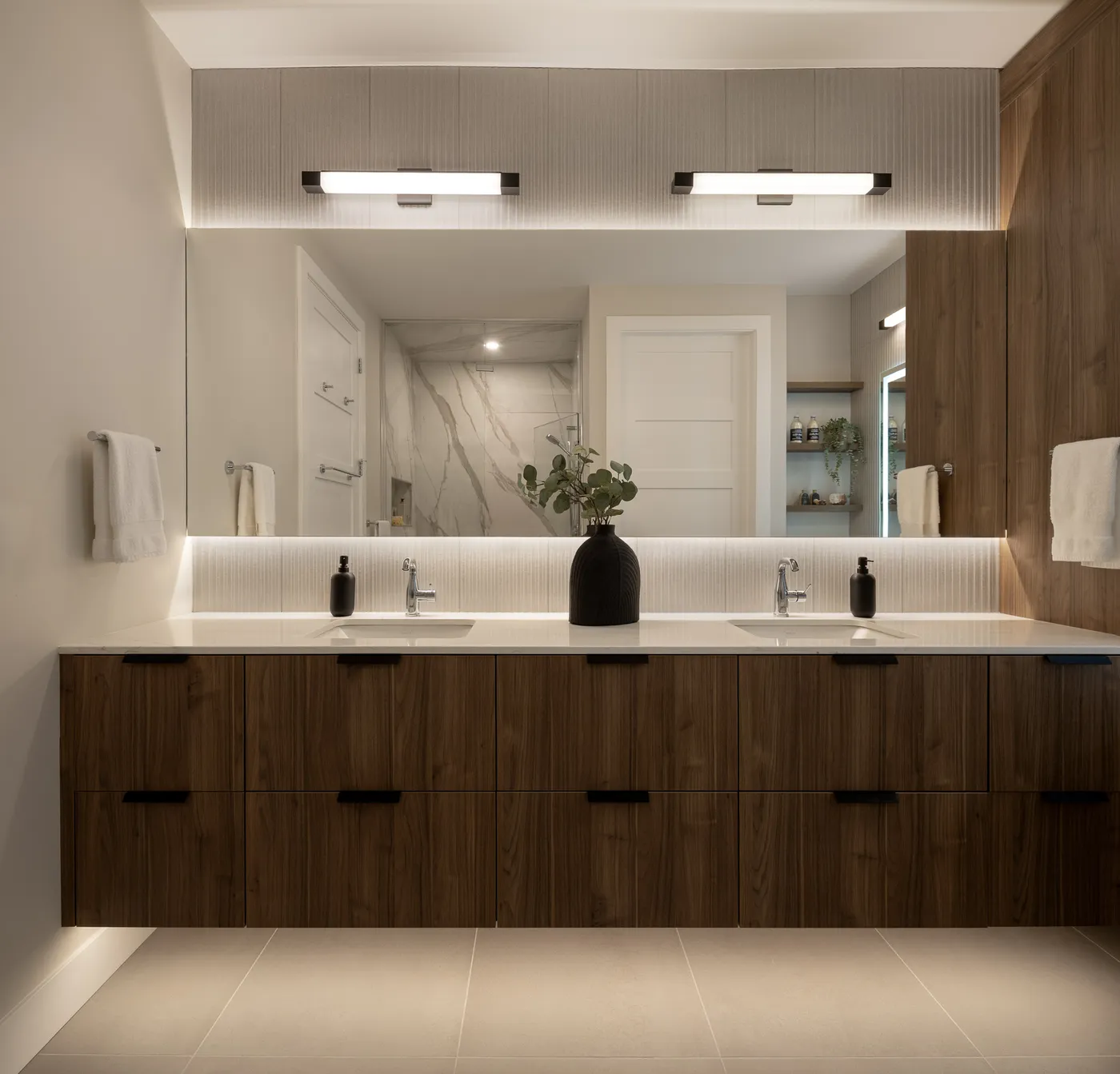
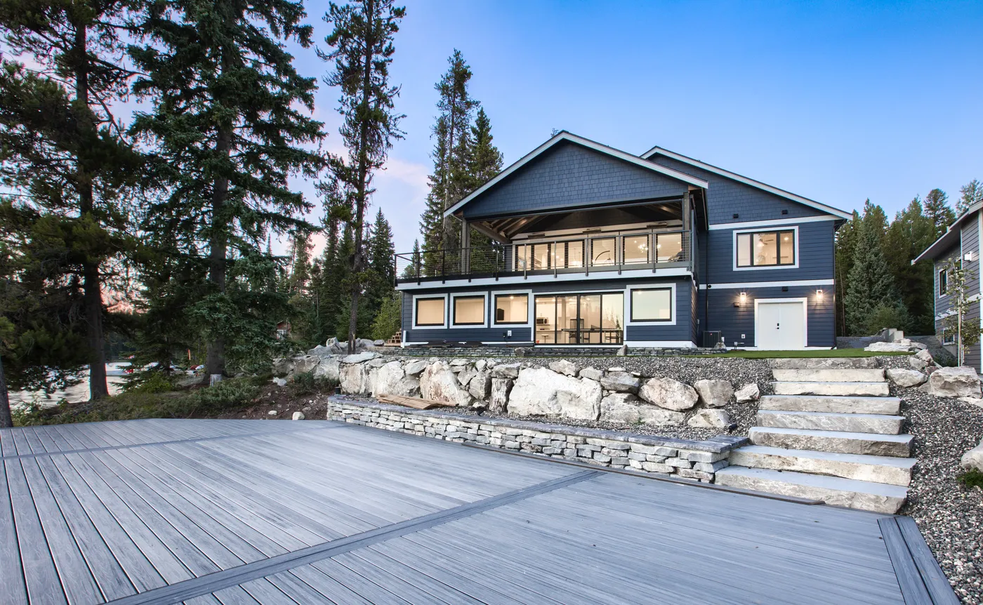
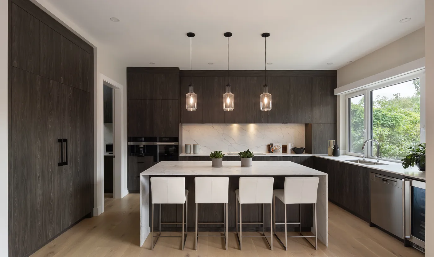
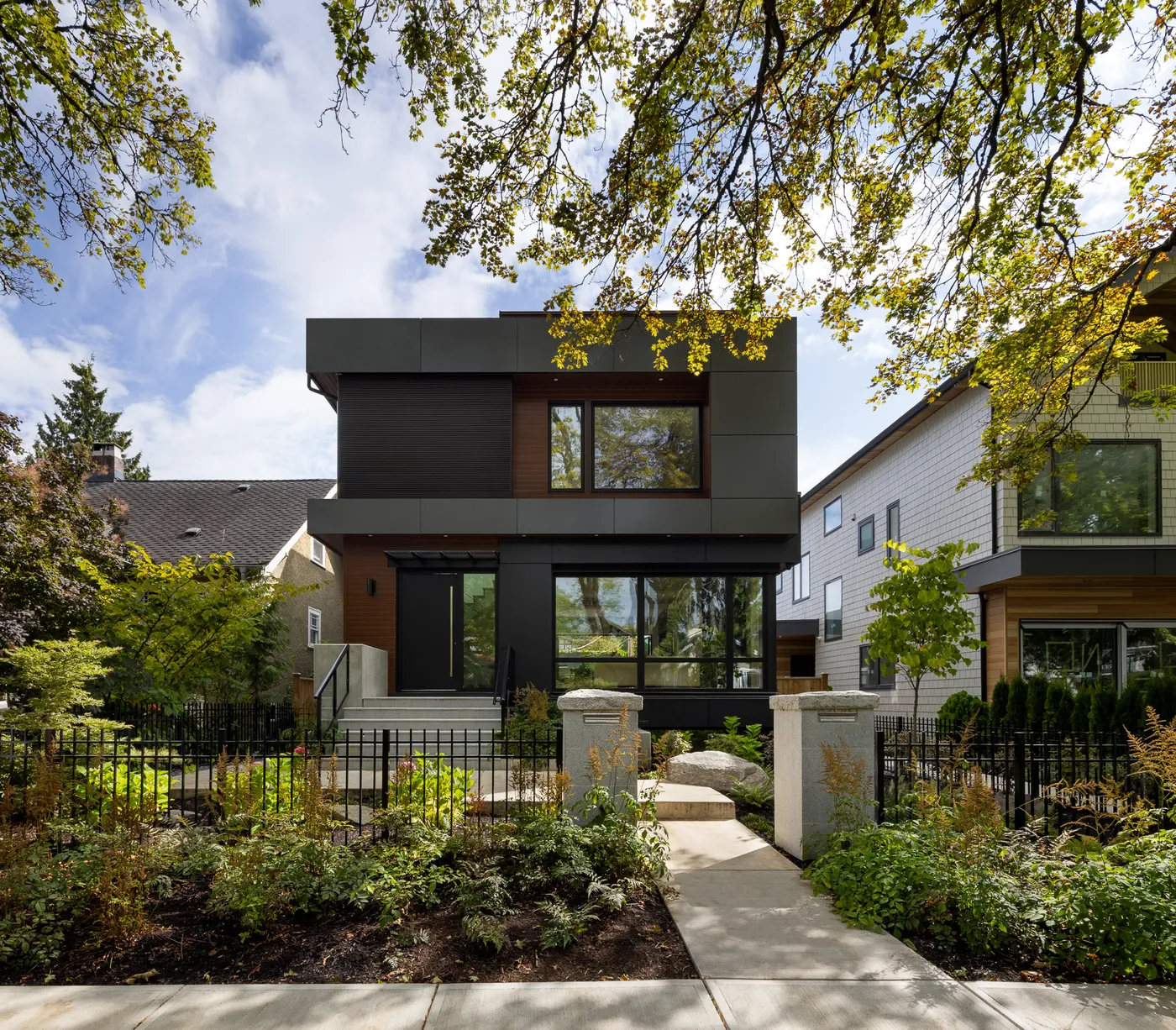
Built by Venture Pacific
Homes and buildings we have built
All projects

Questions about 7409 272 St
What is the zoning of 7409 272 St?
The lot sits across a zone line: the zoning map shows parts of it in RU-3 and RU-5. Each part follows its own zone, so no single count of homes can be given. The zone pages below list each zone's rules.
How big is the lot at 7409 272 St?
The lot outline in the Township of Langley map data measures 39,181 m² (421,739 sq ft), 9.68 acres. The Township's own record lists 10 acres, a figure it marks as not verified. A survey gives the legal figure.
Is 7409 272 St in the Agricultural Land Reserve?
Yes. Township of Langley records place 7409 272 St in the Agricultural Land Reserve, so the Agricultural Land Commission's rules apply as well as the zoning.
Is 7409 272 St on Township sewer and water?
Township records show no sewer service and no water service on 7409 272 St. A lot without both cannot use the Township's small-scale multi-unit housing rule.
Other lots on 272 St
Look up another Langley address
Lot facts come from Township of Langley open data downloaded October 28, 2026, and the urban containment boundary from Metro Vancouver open data. Zone rules come from the zoning bylaw sections named beside each rule. Lot sizes are measured from the lot outlines in that data; a survey gives the legal figure. Bylaws change, so confirm with the Township of Langley before you buy or build. This page gives general information from public records. Only the Township of Langley can approve a plan or a permit.
Contains information licensed under the Township of Langley's Open Government License. Contains information licensed under Metro Vancouver's Open Government Licence.